
Colin W. Mitchell (Click for full C.V.)

Geomorphology, Geography and Geology of Soils
General Interests
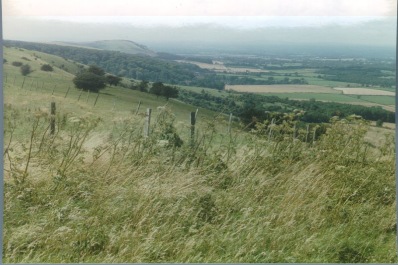
Colin Mitchell's interests include characterization of soils, and analysis of the origin of geomorphic features and landscapes
Current Research
Mitchell is currently doing consulting , teaching philosophy at Newbold College, and conducting research on the Jurassic Great Dirt Bed in England.
|
||
Selected Publications
Books
1985 with J A Howard: Phytogeomorphology, John Wiley & Sons, New York.
1986 (reprinted 1991) with R D Thompson, A M Mannion M Parry, and J R G Townshend: Processes in Physical Geography, Longmans, London.
1991 Terrain Evaluation, Longmans , London, 2nd edition, 1991.
1994 The Case for Creationism, Stanborough Press, Grantham Lincs.
1995 The Remote Sensing Society: The Early Years 1974-1995, Remote Sensing Society, Department of Geography, University of Nottingham.
Journal articles and reports
1972-1973 Editor: Studies on the Geomorphology and Agriculture of the Northern Sahara 1972-3, Geography Department, Reading University.
1973 Soil classification with particular reference to the Seventh Approximation, Journal of Soil Science, 24 (4), 411-420.
1973 The Application of ERTS-1 Imagery to the Sudan Savanna Project, Remote Sensing Centre, FAO, Rome.
1974 with S G Willimott: Dayas of the Moroccan Sahara and other arid regions, Geographical Journal, 140 (3), 441-453.
1974 with D M Clark and J A Varley: Geomorphic evolution of sediment-filled solution hollows in some arid regions (NW Sahara), Zeitschrift für Geomorphologie, Supplementband 20, 130-139.
1977 Interpretation of photos. Nos 5:6, 5:7 & 5:8 (pp 78-83), in Perrin, R M S, Air photography in soil science. In St Joseph, The Uses of Air Photography, 2nd edition, John Baker, London, 66-85.
1978 The use of Landsat imagery in a land system classification of Jordan, Journal of the British Interplanetary Society, 31 (8), 283-292
1978 with J A Howard: The Application of Landsat Imagery to Soil Degradation Mapping at 1:1,000,000, FAO Series AGLT 4/78, Rome.
1979 Terrain evaluation, chapter 8 in Goodall, B and Kirby, A (eds) Resources and Planning, Pergamon International Library, Oxford.
1979 with Webster, R, Beckett, P H T, and Clifford, B: An analysis of terrain classification for long-range prediction of conditions in deserts, Geographical Journal, 145 (1), 72-85.
1980 with J A Howard: Phytogeomorphological classification of the landscape, Geoforum, 11, 85-106.
1980 with Gavish, D: Land on which battles are lost and won, Geographical Magazine, L11 (12), 838-840.
1981 Reconnaissance land resources surveys in arid and semi-arid lands. Chapter 8 in Townshend, J R G (ed) Terrain Analysis and Remote Sensing, George Allen & Unwin, London, 169-183.
1981 Soil degradation mapping from Landsat imagery in North Africa and the Middle East. In Allan, J A, and Bradshaw, M (eds), Geological and Terrain Analysis Studies by Remote Sensing, Remote Sensing Society, Reading.
1982 with Howard, J A and Mainguet, M M: Soil Degradation Mapping from Landsat in North Africa and the Middle East. In First Thematic Conference: Remote Sensing of Arid and Semi-arid Lands, Environment Research Institute of Michigan (ERIM), Cairo, Egypt, 899-908.
1982 with Travaglia, C: Applications of Satellite Remote Sensing for Land and Water Resources Appraisal, People's Democratic Republic of Yemen (PDRY), FAO Report Remote Sensing Series 9, TCP/PDY/0104 (Mi), Rome.
1983 The soils of the Sahara with particular reference to the Maghreb, Maghreb Review, January-April, 8 (1-2), 29-37.
1984 Soils, chapter 4 in Cloudesley-Thompson, J L (ed) Sahara Desert, Key Environments Series, Pergamon Press, Oxford, 41-56.
1985 Landsat-based land system survey in northern Iraq, Proceedings of the First National Symposium on Remote Sensing, Baghdad, Iraq, 26-28/10/85, Vol 2. Space and Astronomy Research Centre, Baghdad.
1987 with Roberts, C: Spring mounds in southern Tunisia, in Frostick, L E and Reid, I, Desert Sediments Ancient and Modern, Geological Society of London Special Publication No 35, Blackwell, Oxford, 321-334.
1987 Trends and needs in remote sensing for land applications, in Advances in Digital Image Processing, Proceedings of the Annual Conference of the Remote Sensing Society, Nottingham, 145-153.
1987 Terrain evaluation, in Bell, F G, Ground Engineer's Reference Book, Butterworth, London, 23/1-23/8.
1988 Xizang (Tibet), Contemporary Review, Vol 252 (1468), 269-270.
1988 An international approach to GIS based on remote sensing and terrain classification. In IGARSS'88 (1988 International Geoscience and Remote Sensing Symposium), Edinburgh: Remote Sensing: Moving Towards the 21st Century, European Space Agency, Paris 117-118.
1991 Physiography, geology, and soils, in Craig G M (ed.) The Agriculture of the Sudan, Oxford University Press, Oxford, chapter 1, 1-18.
1995 The Remote Sensing Society: a history 1993-1995. In Curran, P J & Robertson, Y C (Compilers) RSS95 Remote Sensing in Action, Proceedings of the 21st Annual Conference of the Remote Sensing Society 11-14 September 1995, University of Southampton, 179-186.
Reviews and Notes